

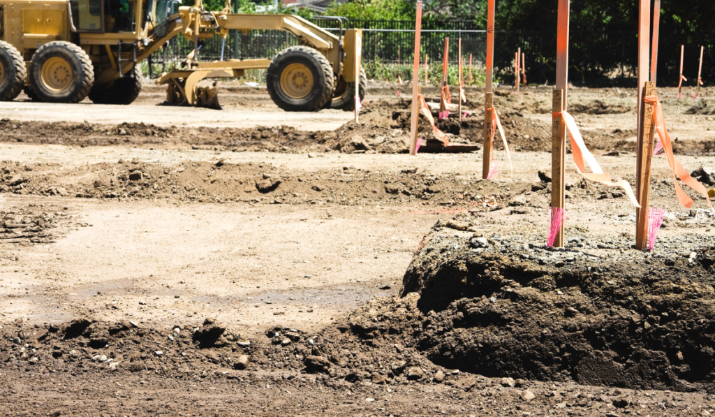
A site grading plan in Florida is a civil engineering document that establishes existing and proposed ground elevations, drainage flow directions, retention areas, and building pad heights, and most property owners sign off on one without understanding what any of those elements mean or what to look for before approving the plan. Signing a grading plan without being able to read it is not just a paperwork formality. It is an authorization for your contractor to build a drainage system that will either perform correctly for the life of the structure or require costly corrections after the county inspection process reveals a design problem. This post breaks down the key elements of a Florida site grading plan in plain language and explains what to look for before construction begins.
Site Grading Plans in Manatee County: Key Elements, What to Look For, and How the Plan Connects to SWFWMD and Inspections
The Five Elements Every Grading Plan Contains
Florida site grading plans follow civil engineering conventions that are consistent across Manatee County, Sarasota County, and most Florida jurisdictions. Understanding these five elements gives you the foundation to review any grading plan at a basic level before approving it.
| Plan Element | What It Shows | What to Confirm |
|---|---|---|
| Existing contour lines | The current ground elevation across the site before any work begins | Match these against the actual site, low areas, slopes, and drainage patterns should be visible |
| Proposed contour lines | The target ground elevation after grading is complete | Verify the proposed grade directs water away from the building pad and toward the designed outfall |
| Drainage arrows | The intended direction of surface water flow across the site | Every low point on the plan should have a defined path to an outfall, inlet, or retention area |
| Spot elevations | Specific elevation values at critical points, corners of the building pad, inlet grates, outfall connections | The building pad elevation should be above the adjacent finished grade to ensure positive drainage away from the foundation |
| Retention or detention areas | On-site areas designed to hold stormwater before it discharges off the property | Retention area size and bottom elevation should match the stormwater calculations required by SWFWMD |
What Signals That Drainage Will Actually Work on Your Lot
A grading plan that looks complete on paper can still contain design assumptions that do not hold up against your specific lot conditions. These are the signals that indicate the drainage design was developed with your actual site in mind rather than as a generic plan applied to any parcel.
Drainage arrows connect to a defined outfall. Every drainage arrow on the plan should terminate at a specific location, a street curb inlet, a swale, a retention pond, or a storm drain connection. Arrows that point toward the property boundary without specifying where the water goes are a red flag.
Existing low areas are addressed. If your lot has a low corner or a natural depression, the grading plan should show how that area is being brought to grade or incorporated into the drainage design. A plan that simply shows proposed grade without acknowledging existing low points is a plan that was not developed from an accurate site survey.
The building pad elevation accounts for FEMA flood zone requirements. In Manatee County, properties in FEMA-designated flood zones have minimum finished floor elevation requirements. The building pad elevation shown on the grading plan should meet or exceed the Base Flood Elevation for the parcel. If it does not, the building permit will not pass the floodplain review.
The retention area sizing is supported by calculations. SWFWMD Environmental Resource Permit requirements specify how much stormwater volume a site must retain before discharge. A grading plan that shows a retention area without the supporting stormwater calculations that confirm the volume meets the permit requirement is not a complete design.
Common Plan Errors That Show Up Before Construction Begins
These are the errors most frequently caught during plan review, and the ones that are significantly cheaper to correct on paper than after the grading contractor has already shaped the site.
Contour lines that do not close. Contour lines represent elevation, they should form complete loops or exit at the plan boundary. Open contour lines that terminate mid-plan indicate a drawing error that may reflect a real gap in the design intent.
Drainage slope that is too flat to function. Florida's low topography means that grading designs sometimes specify slopes so slight that they will not maintain positive drainage after compaction and settlement. A minimum slope of one percent, one foot of drop per one hundred feet of horizontal run, is the general threshold for surface drainage to function reliably. Anything less should be confirmed by the engineer of record as intentional.
Retention area bottom elevation below the seasonal high water table. In Manatee County's active rainy season, the water table on many parcels rises close to the surface. A retention pond whose bottom elevation is at or below the seasonal high water table will not drain between storm events, it will hold standing water year-round, creating a nuisance condition and potentially a regulatory issue.
How the Grading Plan Connects to SWFWMD and the County Inspection Process
A permitted grading plan in Manatee County is not just a construction guide, it is a regulatory document. The Southwest Florida Water Management District issues Environmental Resource Permits based on the stormwater design shown in the grading plan. Manatee County Building and Development Services issues the grading or land alteration permit based on the same plan.
Both permits are issued for the plan as submitted. Changes to the grading design during construction, moving a retention area, adjusting a drainage outfall, changing a pad elevation, require the engineer of record to revise the plan and resubmit for permit modification before the changed work can proceed. Contractors who make field adjustments to a permitted grading plan without going through the revision process create a condition where the as-built site does not match the permitted design, which produces inspection failures and potential stop-work orders.
As a property owner, the practical implication is clear: confirm that your grading contractor is building to the permitted plan, verify that any proposed changes go through the engineer before they happen, and understand that what is shown on the approved plan is what the county inspector will be looking for at each phase of the project.
Our site preparation services and excavation and grading services are executed to the permitted plan on every project. For common questions about the site prep and permitting process, visit our FAQ page.
Frequently Asked Questions About Site Grading Plans in Florida
What is a site grading plan and why do I need one in Florida?
A site grading plan is a civil engineering drawing that shows existing and proposed ground elevations, drainage flow directions, spot elevations at critical points, and any stormwater retention or detention areas required for the project. In Manatee County and across Florida, a grading plan is required for most land alteration and construction projects because it documents how the site will manage stormwater in compliance with SWFWMD and local county requirements.
What does a spot elevation mean on a grading plan?
A spot elevation is a specific elevation value assigned to a particular point on the site, typically a building pad corner, an inlet grate, a finished floor height, or an outfall connection point. Spot elevations are more precise than contour lines and are used to set the exact height at critical locations that affect drainage performance and code compliance. During construction, the grading contractor uses spot elevations to verify that the finished grade matches the design at each key point before the inspector arrives.
Can a grading plan be changed after a permit is issued in Manatee County?
Yes, but not without going through a formal revision process. Changes to a permitted grading plan require the engineer of record to revise the drawings and submit a permit modification to Manatee County Building and Development Services. If the change affects the stormwater design, a corresponding modification to the SWFWMD Environmental Resource Permit may also be required. Work that deviates from the permitted plan without going through this process creates an as-built condition that will not match the approved design, resulting in inspection failures.
What is the minimum drainage slope required on a Florida grading plan?
A minimum surface slope of one percent, one foot of drop per one hundred horizontal feet, is the general standard for reliable surface drainage on Florida construction sites. Slopes below one percent may not maintain positive drainage after compaction and settlement, particularly in Manatee County where the flat topography and high rainy-season water table make even minor drainage failures visible quickly. The engineer of record for the project is responsible for specifying slopes that are appropriate for the site conditions.
Have a grading or site preparation project in Manatee County and want to make sure the plan is being executed correctly? Contact our team for a free estimate and a straightforward conversation about your project scope.
Request a Quote